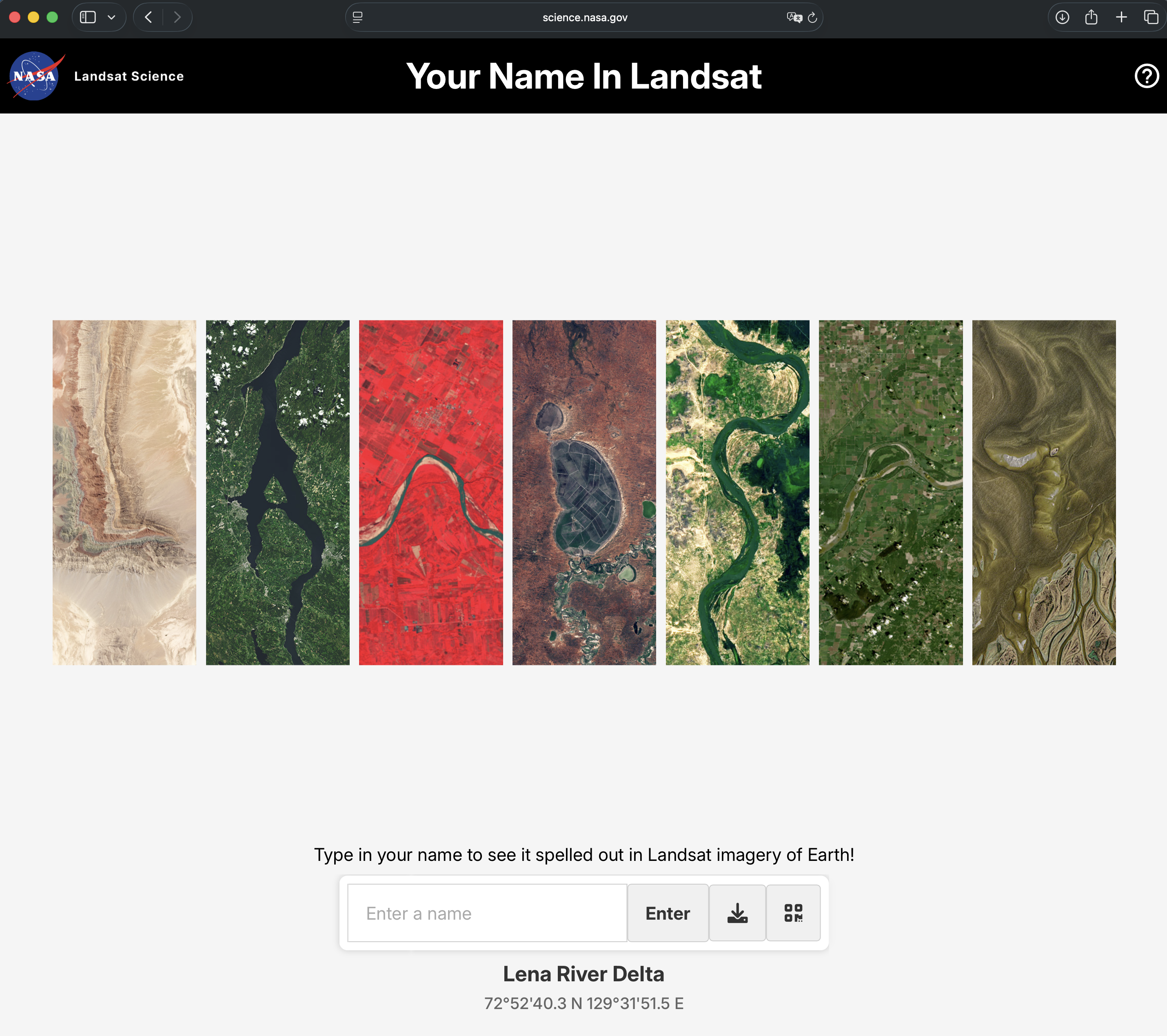
Type in your name. Watch the planet spell it back. Each letter is a photograph taken from 700 kilometers above the ground — a mountain ridge, a salt flat, a river bend that happens to look exactly like the letter you needed.
NASA's Your Name in Landsat is one of those rare tools that works on everyone. Young children stare at it. Adults forward it without explanation. Science teachers have been known to open it in class just to watch what happens to the room.
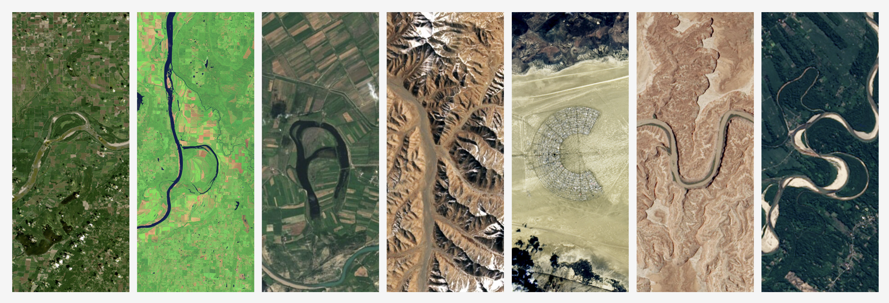
The premise is disarmingly simple: type your name, and each letter is filled in with a real satellite image from the Landsat archive — an aerial photograph of Earth's surface that, from altitude, forms that shape naturally. The “A” in your name might be a volcanic crater in Iceland. The “S” might be a river delta in Southeast Asia. The coordinates are right there under each letter, in case you want to look it up.
Where the Letters Come From
The Landsat program has been photographing Earth's land surface without interruption since July 23, 1972. Every 16 days, the satellite completes a full sweep of the planet. Nine Landsat satellites have done this in sequence, each one picking up where the last left off, building an archive that now spans more than half a century.
Within that archive, certain images contain shapes that resemble letters — not by design, but because mountain ranges, coastlines, dry riverbeds, and salt lakes don't consult the alphabet before deciding what form to take. NASA's team combed through this archive and assembled a library: one collection of real photographs for each letter from A to Z. When you type your name, the tool reaches into that library and pulls the images that spell it out.
Underneath each letter, you'll find a coordinate tag like 40°41'24'' N, 116°58'03'' E. That's not decoration. That's the actual location of the photograph. You can open a map and go there.
A Perfect Activity for Kids
There's something genuinely magical about the moment a child sees their name written in satellite images of Earth. It isn't abstract science at that point — it's personal. Their name is somewhere out there on the planet, literally written into the landscape. The “E” in Emma is a glacier in Greenland. The “O” in Oscar might be a crater lake in Ethiopia.
This makes the tool remarkably effective as an entry point for conversations you'd otherwise struggle to start with young children.
Turn it into an afternoon
After the initial surprise wears off — and it always does wear off, usually around the third name they've typed — here are some directions worth exploring together:
- Look up the coordinates of each letter on Google Maps. Find where on Earth each photograph was taken.
- Ask: does this look like a forest, a desert, or a coastline? What colors do you see, and why might different places look different from space?
- Type everyone’s name in the family. Print the results and hang them side by side. Do any letters repeat? Are they the same image or different ones?
- Challenge older children to guess which continent each letter might be from before looking it up. Then check.
- Ask: if a satellite is 700 km up, how does it see something as small as a river? That’s a good excuse to talk about zoom, resolution, and light.
- Pick one letter, find its location on a map, and look at what’s nearby. Is it a city? A national park? An ocean?
“The planet has been photographed so many times, from so many angles, that it can now spell your name.”
The Archive Behind the Magic
The reason this tool can exist at all is the sheer scale of what Landsat has collected. More than 50 years of systematic global coverage means Earth's surface has been photographed millions of times, under different seasons, different light conditions, different cloud cover. Within that many images, every letter shape is hiding somewhere.
In 2008, NASA and the U.S. Geological Survey made the entire Landsat archive free and publicly accessible. That decision quietly transformed Earth observation science — researchers everywhere suddenly had decades of data available at no cost. The science that came out of that opening is still accumulating. But one very small downstream consequence, years later, is a tool that writes your child's name in photographs of the planet.
The tool supports the standard A–Z Latin alphabet. Names with non-Latin characters won't render, but most names transliterated to English work beautifully. The result can be downloaded as an image to share or print.
One small note for classroom use: the tool works entirely in the browser, requires no login, and is free. It loads quickly and needs no installation. A projector and a room full of curious kids is all the setup required.
Why This Kind of Thing Matters
Science communication has a persistent problem: the gap between “this data exists” and “this data means something to me personally” is hard to cross. Landsat's archive is an extraordinary resource — one of the most important environmental datasets ever assembled — but explaining why it matters to someone who has never thought about satellite imagery is genuinely difficult.
Tools like this one take a shortcut across that gap. They don't explain the science first and hope curiosity follows. They make it personal first, and let the science become the answer to questions that naturally arise. Why does that letter look greenish? Because it's a forest. How does the satellite see colors? Well, actually it sees more than colors — it sees wavelengths our eyes can't detect at all. And suddenly you're explaining multispectral imaging to a nine-year-old who asked the question themselves.
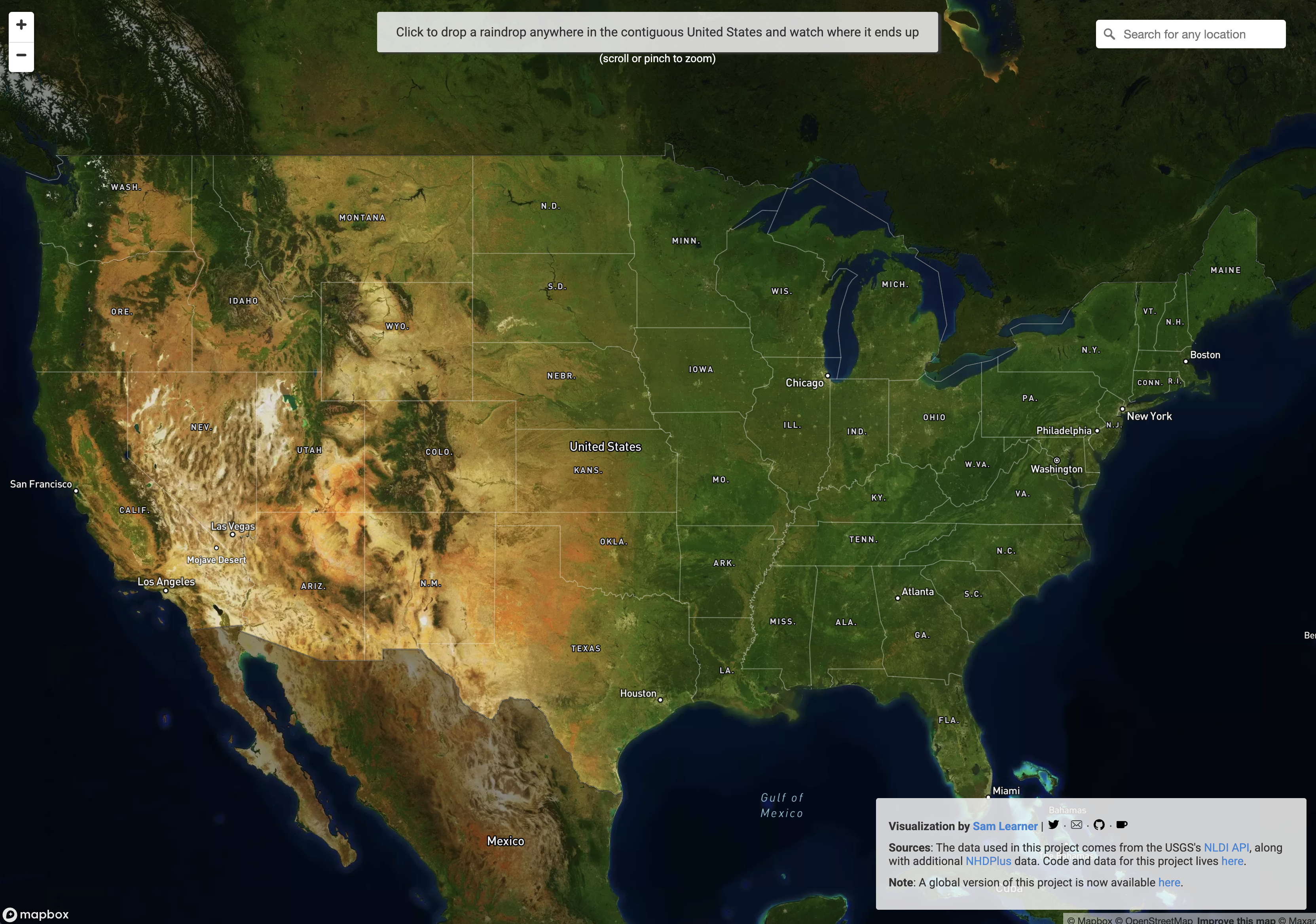
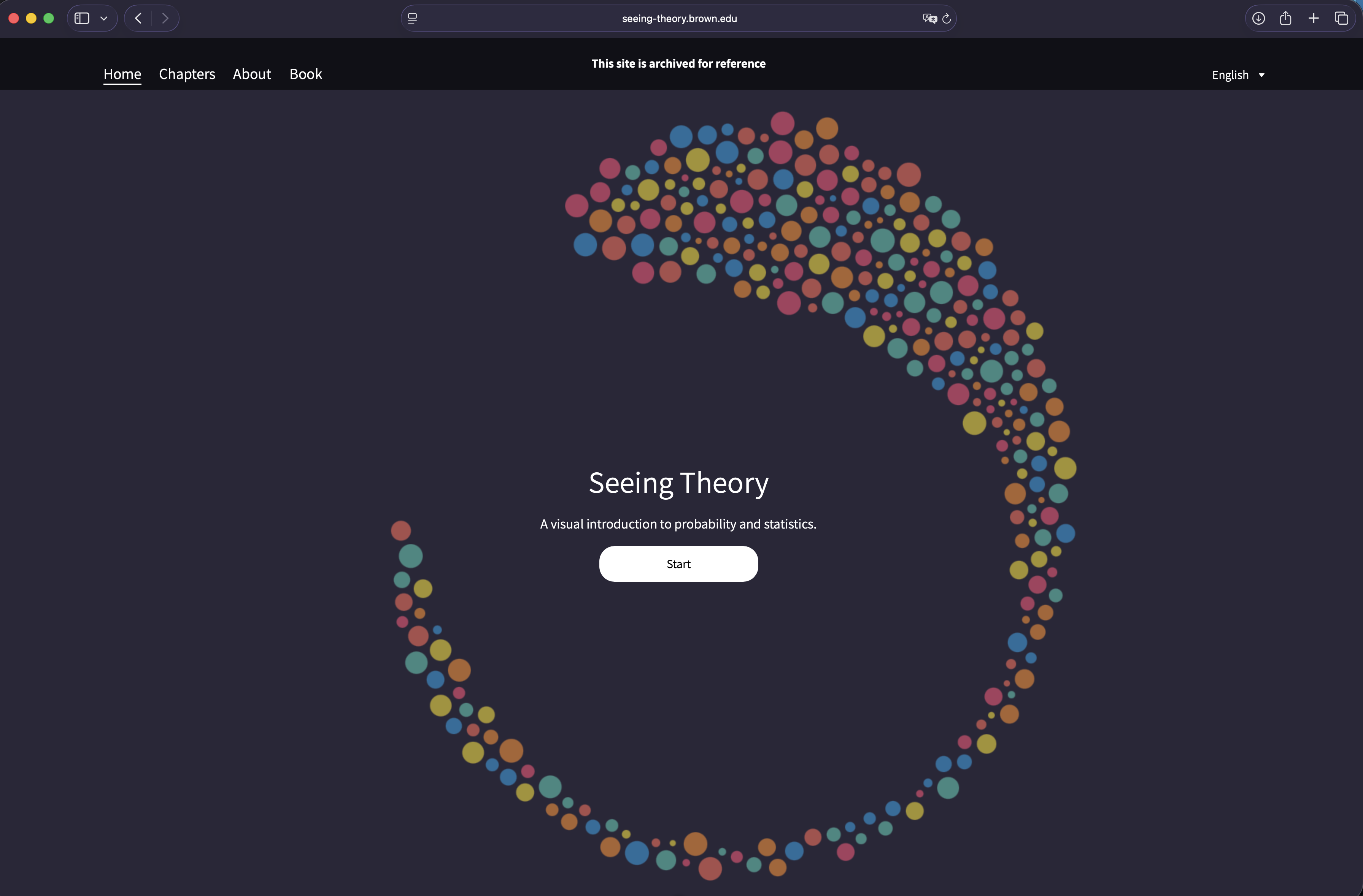
That's the best version of science education. Not a lecture with a satellite image at the end — but a satellite image of your own name, and a conversation that unfolds from there. This is the same logic that runs through River Runner's raindrop traces or Seeing Theory's visual probability: make it personal first, and the science follows naturally.
Try It
Type your name — or your kid's name — and see what Earth has been holding onto all this time.