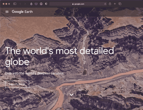
Google Earth is a computer program that renders a 3D representation of Earth based primarily on satellite imagery. The program maps the Earth by superimposing satellite images, aerial photography, and GIS data onto a 3D globe, allowing users to see cities and landscapes from various angles.
CATEGORIES
Google Earth
Use Google Earth to dive into the world’s deepest canyons, discover cities around the world,.
More Details
- Tags: Tools
- Added on:
Thanks for reading!


